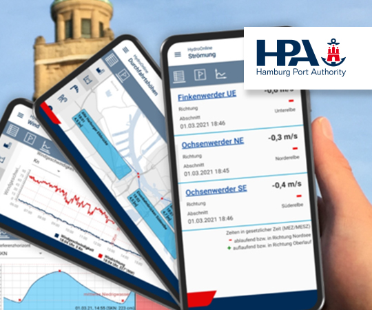
The Hydro Portal - depth data analysis and passage planning made easy!
The HPA's Hydrography department uses its own sounding vessels to determine the water depths in the area of the Port of Hamburg. This measurement data is evaluated and made available to users as depth information via the Hydro Portal. Hydrography thus creates an essential basis for fast and safe shipping traffic as well as for waterway maintenance.
The Hydro Portal is a geo-referenced web portal that prepares and provides the following information:
- Current depth data of the Port of Hamburg
- Analysis options based on the depth data
- Ship tracking and radar data
- Measurement and construction of geometries
- Query background data with the info tool
- Exporting depth data
- Create PDF sounding plans
- Integration of any geoservices
- Volume calculation
The Hydro Portal currently has over 150 internal HPA users from the fields of waterway maintenance, nautical engineering, river supervision and structures that are managed and maintained by the HPA.
There are also over 200 external users. Users range from shipping companies, dredging companies and terminal operators to the Elbe and port pilots.
Advantage for users: Daily updated depth data is available to the Hydro Portal for planning and analysis. This up-to-date information is only available in the Hydro Portal.
Access to the Hydro Portal is subject to a charge.
You can find further information on Hydro Portal at https://www.tideelbe.info/fileadmin/user_upload/Downloads/Broschueren/230227_HPA_Flyer_Hydro_Portal.pdf and https://www.tideelbe.info/unter-wasser/das-hydro-portal-digital-vernetzt-sicher-geplant